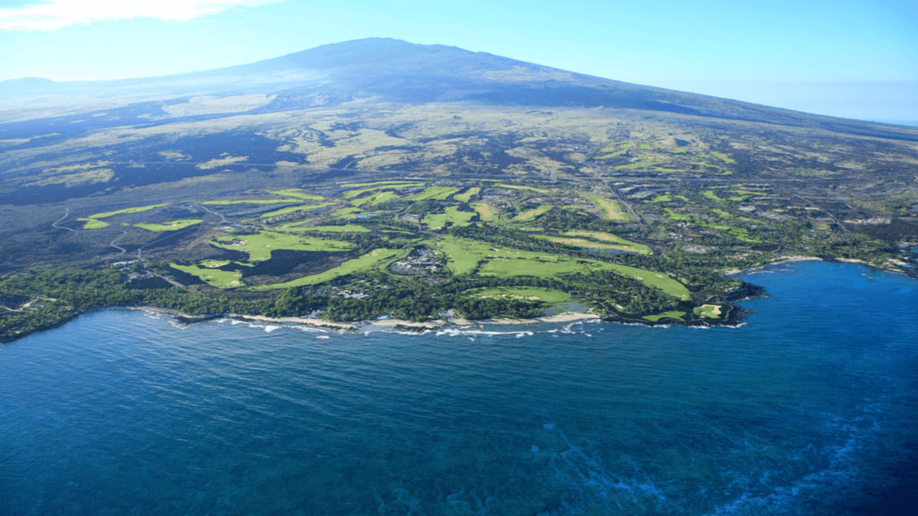
The nearshore fisheries of Ka‘ūpūlehu and Kūkiʻo, located on the western side of the island of Hawai‘i, have been a sustainable source of sustenance to the people of these lands for several hundred years. Due to concern of the health of the local ecosystem and fishery, a group of community members formed to oversee and manage the use of the natural resources.
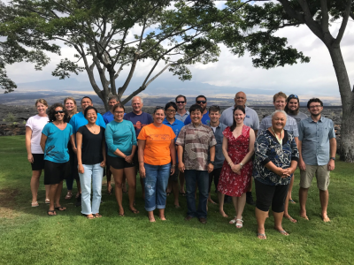
The Nature Conservancy’s FishPath team has been working with KMLAC and other stakeholders to support the development of a fisheries management plan. Through discussions about the specifics of management options, the beginnings of FishKit were created to bring community insight into the process of selecting and analyzing fishing regulations.
KMLAC and TNC pioneered a process for designing management options that combines scientific principles with local knowledge
With the help of TNC’s Bag Limit Builder tool, community members were able to explore data on take-per-day for their fishery and develop bag limit options that would help them meet their conservation and fishing goals.
KMLAC was the first community to use the Size Limit Builder to weigh the long term tradeoffs between catch and sustainability to design size limits that protect their fishery for years to come.